
Lancaster County has more covered bridges than anywhere else in Pennsylvania. Twenty-eight of them, spread across the southern end of the county, most of them still standing after 150 years. I’d been meaning to do a dedicated covered bridge ride out there for a while, and earlier this year I finally made it happen. A couple of friends joined me and we hit ten Lancaster County Covered Bridges in one day, mostly in Lancaster with a couple just inside Chester County. This post covers all of them, in the order we visited, with notes on what to expect when you get there.
Fair warning up front: this is a long day if you’re doing all ten. Not hard miles, but a lot of stopping and starting. Budget the time accordingly and you’ll enjoy it a lot more than if you’re trying to rush it.
We also made a quick stop at Pool Forge on the way home, which I’ll get to at the end.
Table of Contents
The Bridges
Gibson Covered Bridge
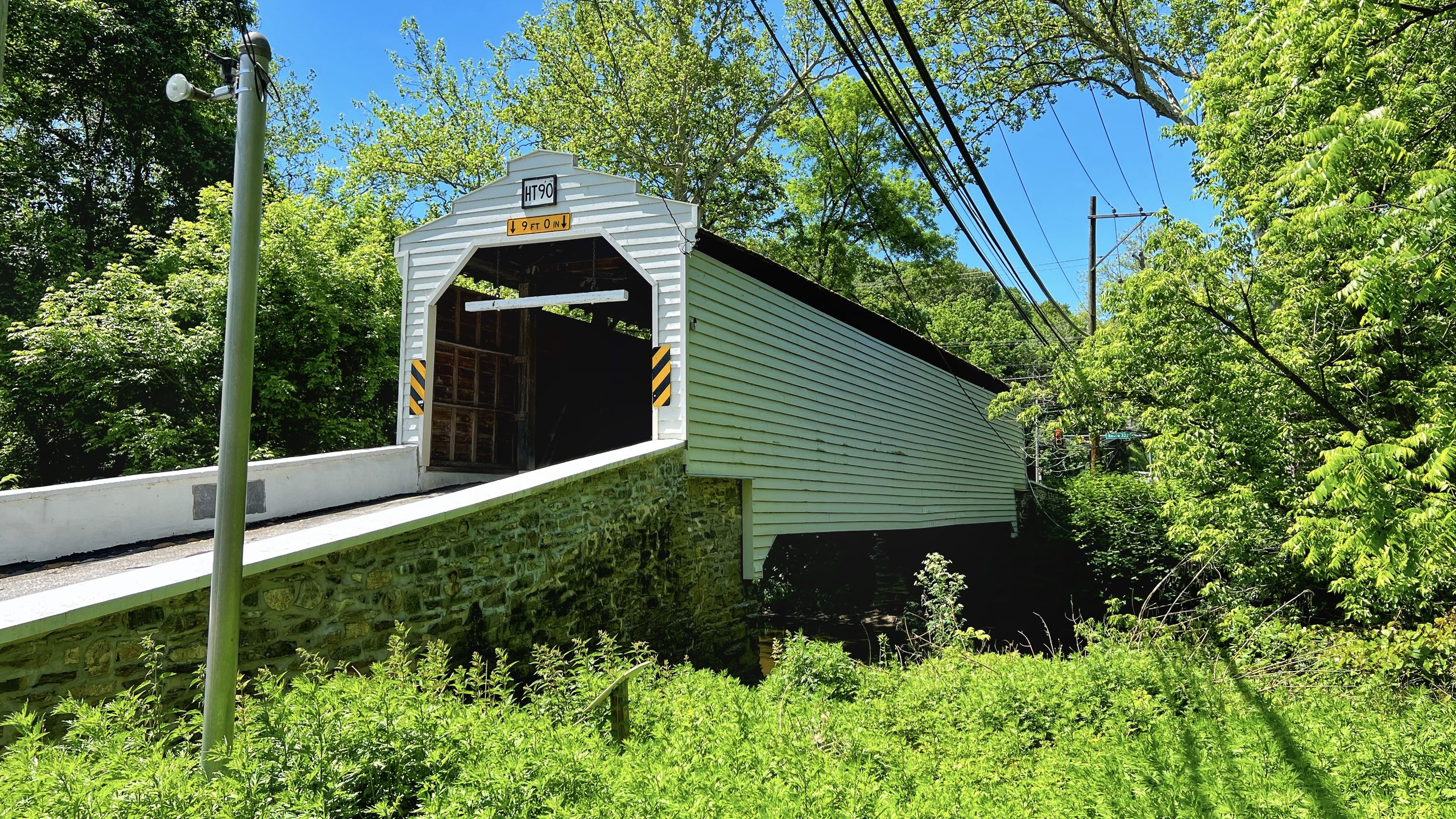
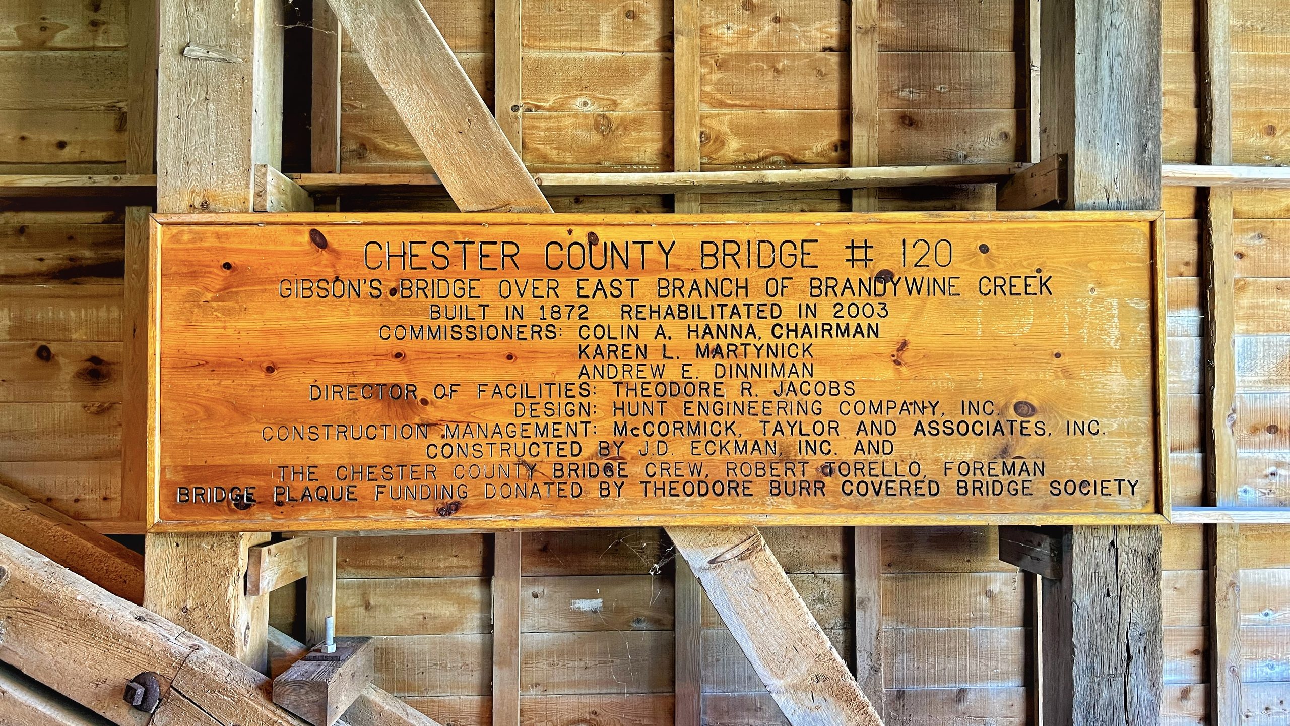
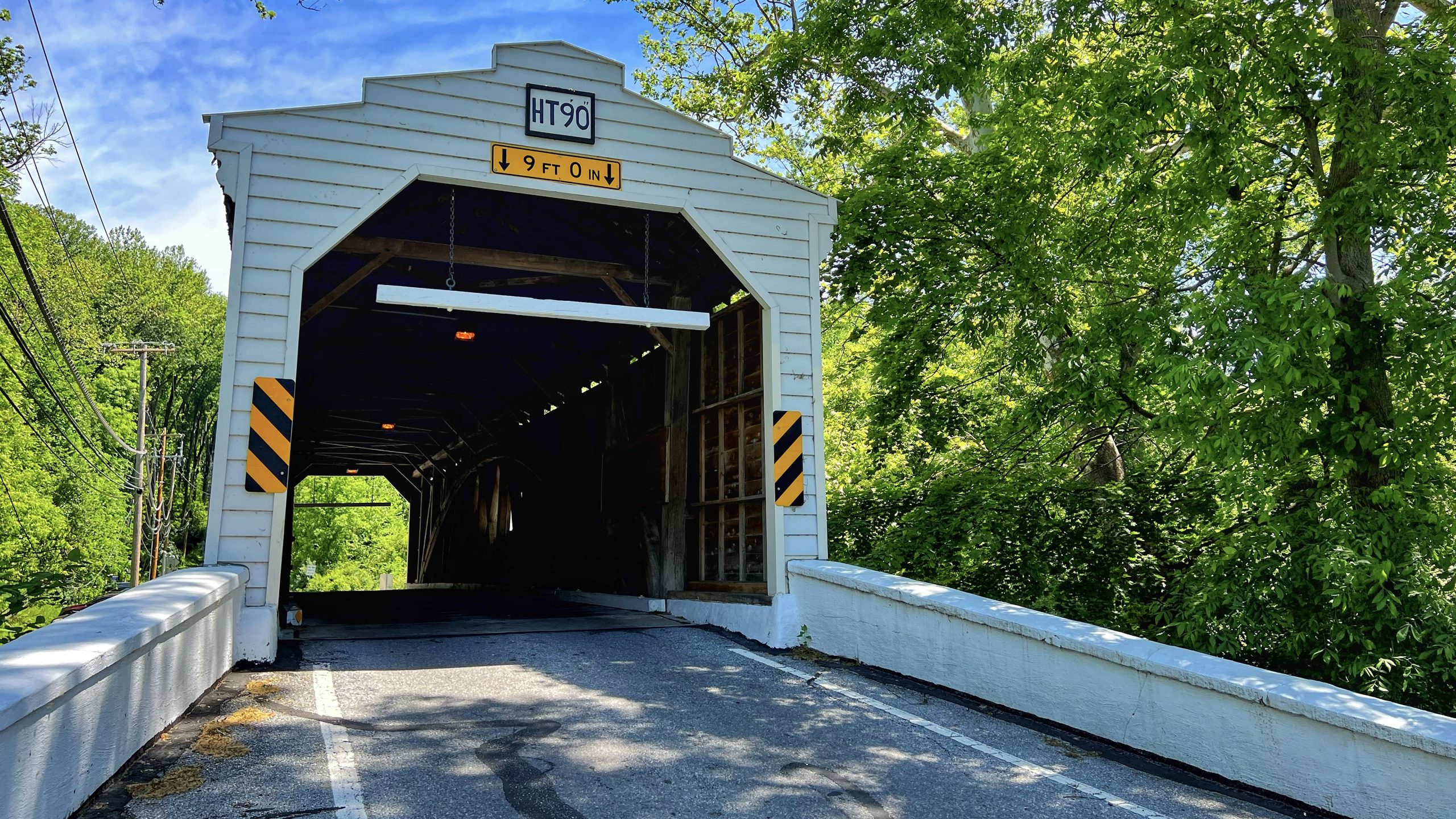
Gibson was our first stop and it set a good tone for the day. It’s a white bridge, 78 feet long, built in 1872, and it sits about two miles south of Downingtown spanning the East Branch of the Brandywine Creek. What makes it stand out historically is that it’s the only one left. Eleven covered bridges originally spanned this stretch of the Brandywine. Gibson is the last one standing.
The name comes from a local farmer named Jason Gibson who owned the land on the east side of the bridge. At one point there was even a trolley stop at the east end. None of that is visible today, but the bridge itself is in good shape. Chester County has done solid work keeping it maintained, most recently rehabilitated in 2003.
Parking is easy here. There’s a dedicated pull-off on the right side of the road with room for several vehicles. We had no trouble getting the bikes in. The bridge is one-way, which helps with traffic flow, though a full-size pickup came through while I was walking back and it got a little tight. I ended up stepping out onto one of the support legs to give him room.
There’s a second placard partially hidden in the vegetation off to the side of the bridge. Easy to miss. Someone in our group spotted it or I would have walked right past it. Worth looking for if you’re there.
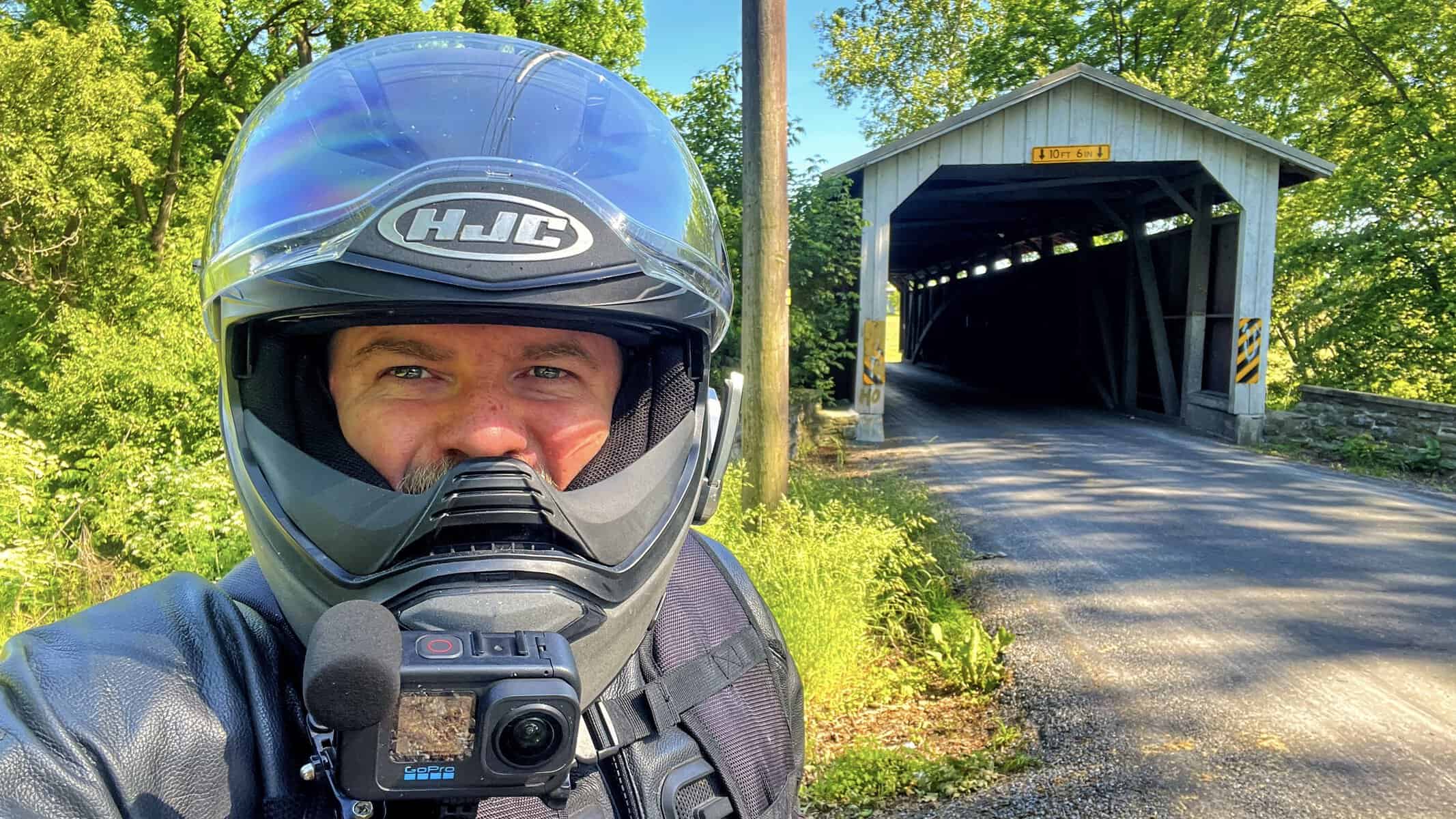
One more thing: there was a bug stuck to my camera lens for most of the walk-through footage. Just going to get that out there now because it shows up in several of the videos.



Speakman Covered Bridge No. 1
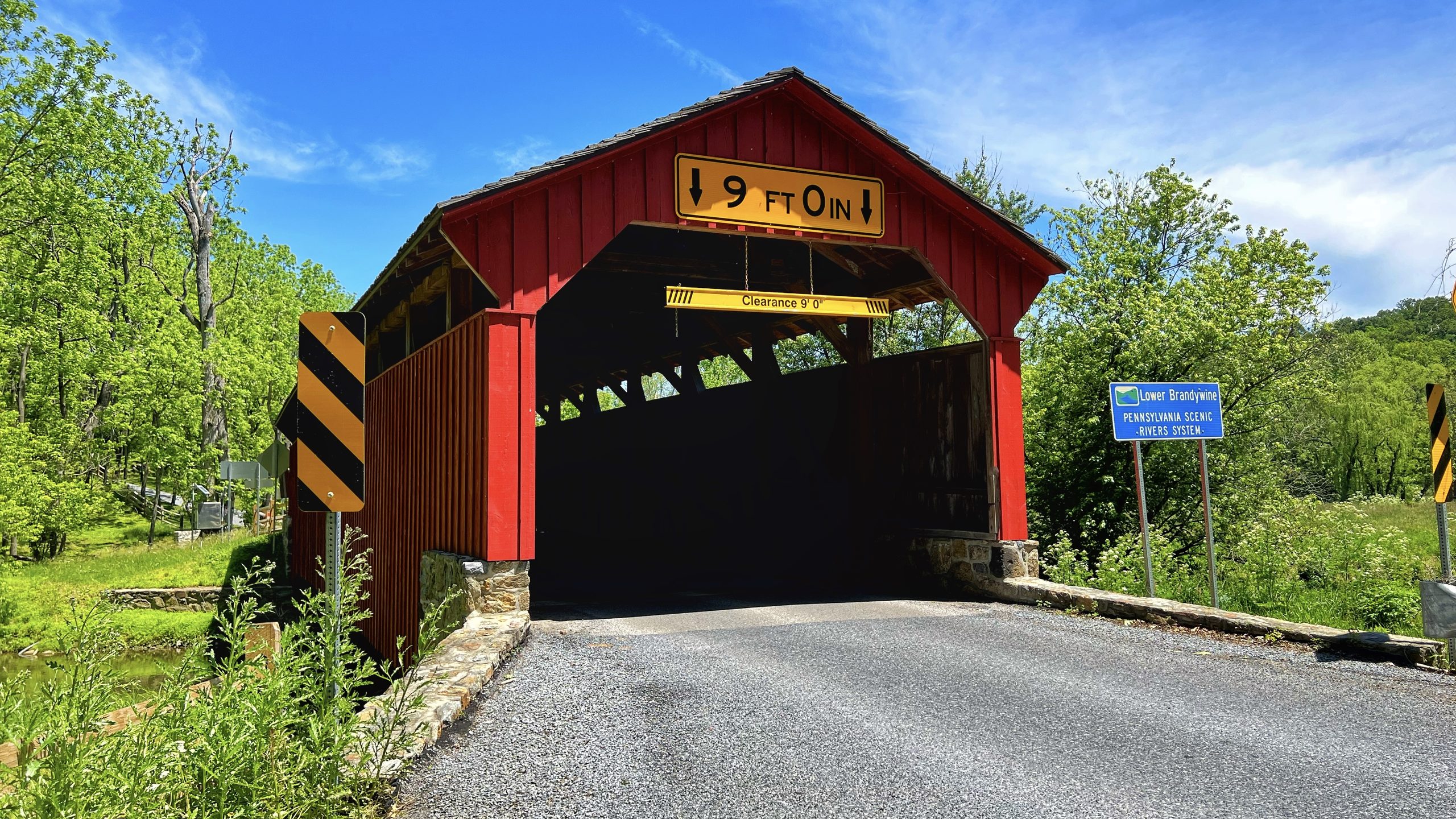
From Gibson we headed to Speakman No. 1, which sits in East Fallowfield Township near Modena, also in Chester County. It’s a red bridge, 75 feet long, built in 1881, crossing Buck Run as part of the lower Brandywine Pennsylvania Scenic River system. It’s a twin to Speakman No. 2 about a quarter mile away, though we only stopped at this one.
The bridge itself is wider than Gibson and has a continuous light portal running along both sides near the top, so the inside stays bright. What caught my attention was the underside of the roof. Mud wasp nests all over it. Dozens of them. I don’t know if they’re active or remnants from past seasons but they were hard to miss.
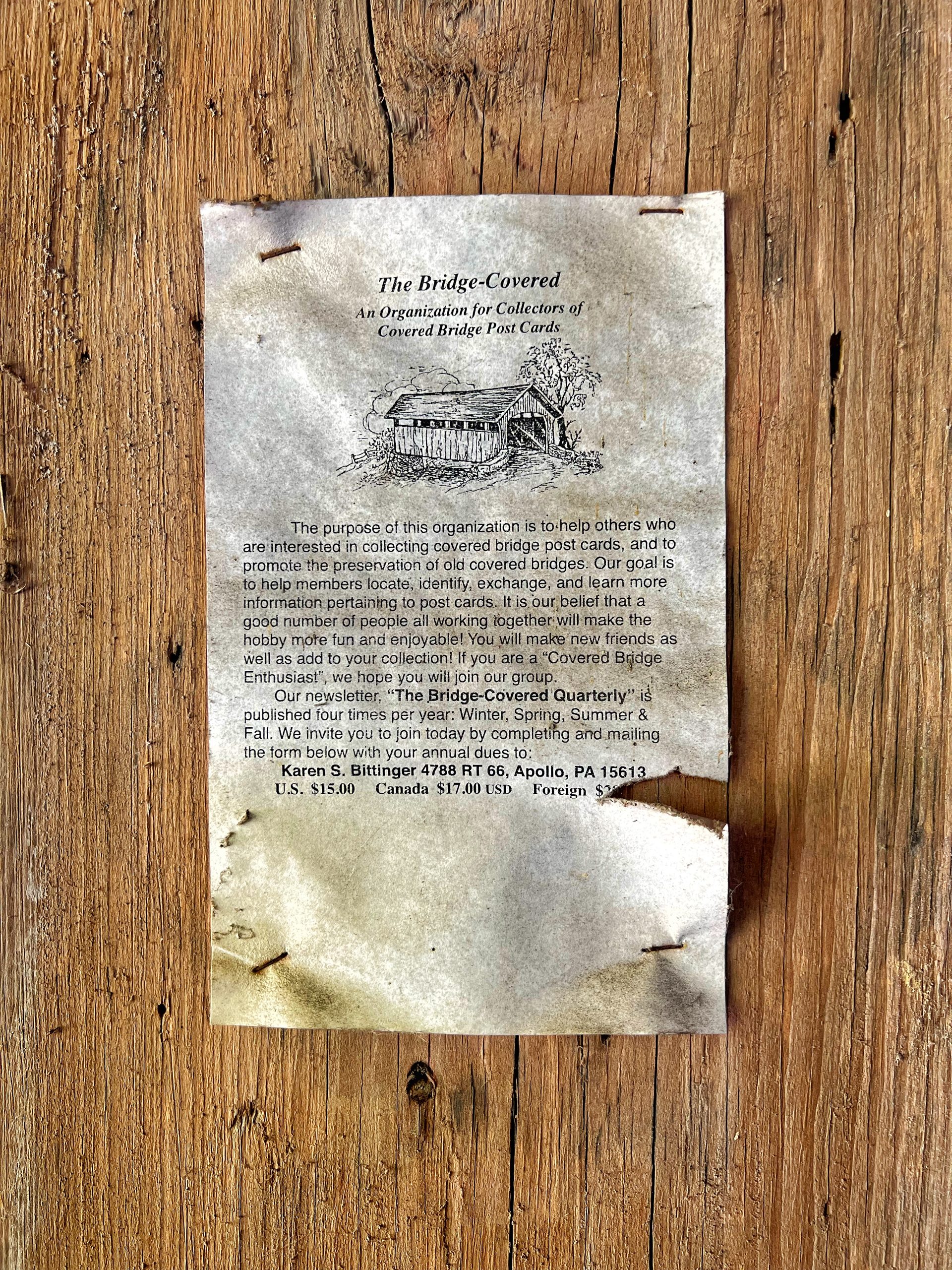
Someone had also stapled an old postcard to the inside of the bridge from an organization called The Bridge Covered, a collector’s group for covered bridge postcards. The postcard was torn and partially illegible but the dues were $15 US if you’re interested. It was just one of those odd little details you don’t expect to find.
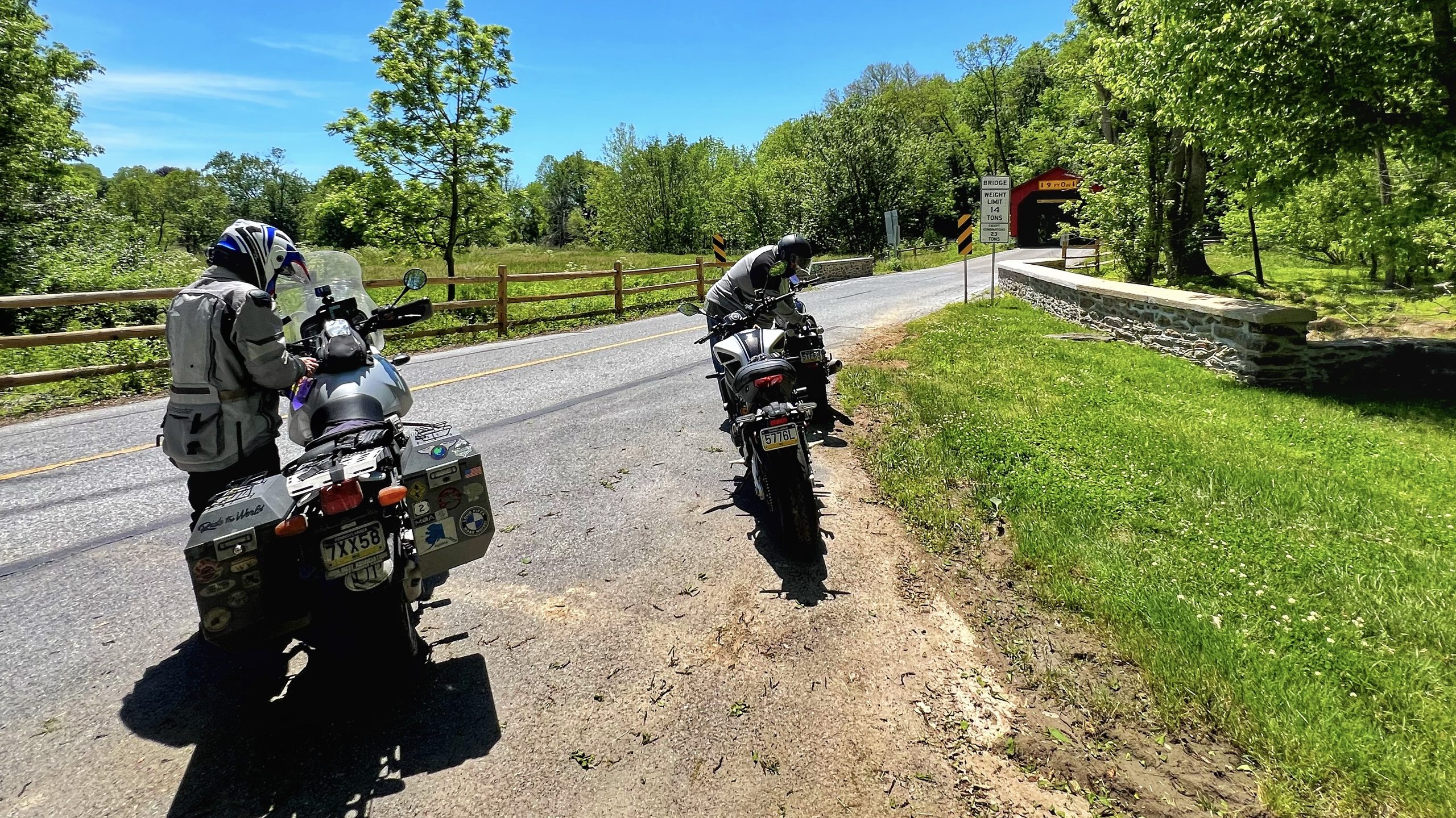
Parking is the one issue here. We ended up at what appeared to be the end of someone’s driveway on the entrance side. There’s a shoulder on the exit side where motorcycles can pull off, but if you’re in a car or truck you’re going to have a harder time. Traffic through the bridge was fairly steady while we were there.



Mercer’s Mill Covered Bridge
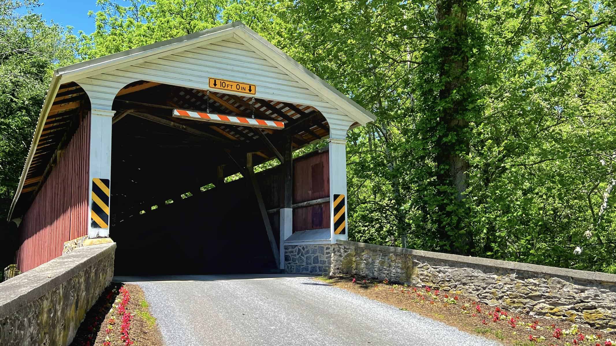
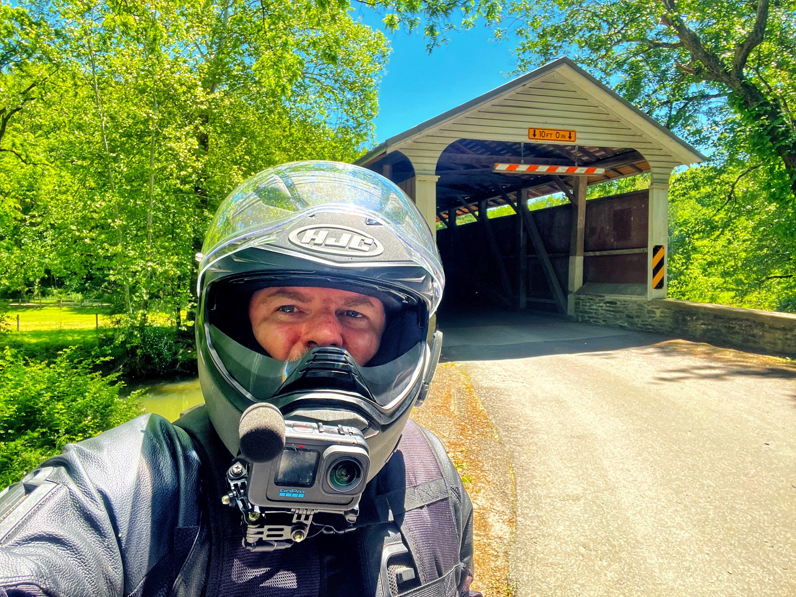
Mercer’s Mill sits right on the Lancaster and Chester County line, technically in Sadsbury Township on Bailey Crossroads Road off Creek Road. Lancaster County owns and maintains it, and they’ve done a nice job with the surrounding area.
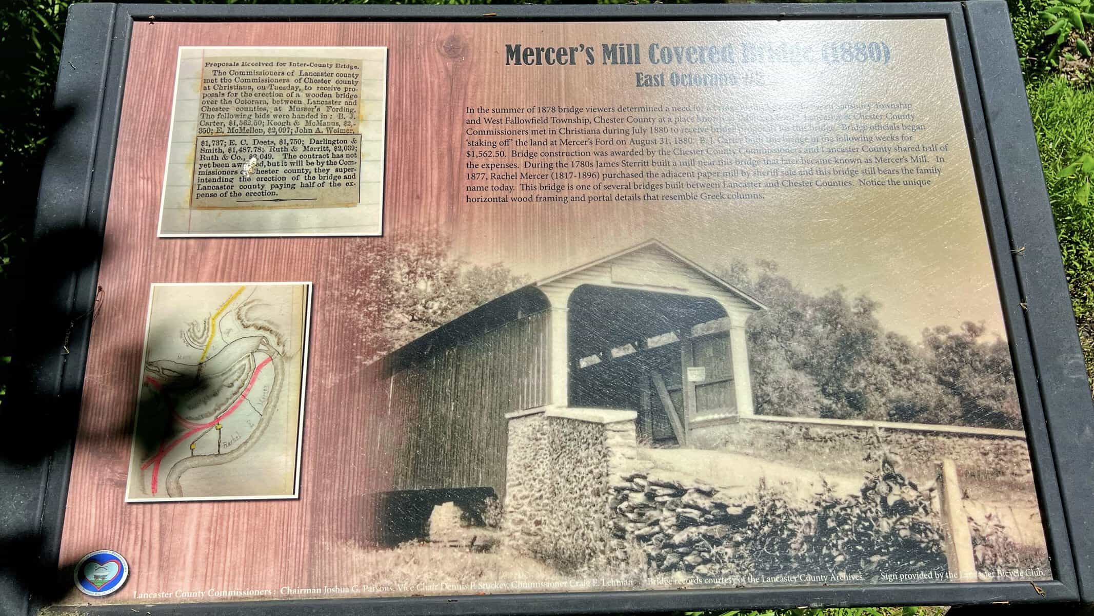
This was one of the better-presented bridges of the day. There’s a white slat and rail fence leading up to the entrance, flowers planted along the stone wall at the approach, and an informational sign on a stand near the parking area that gives you the full history. I really appreciate when they do that. Walking up to a 140-year-old bridge with no context is fine, but having the story laid out makes the stop feel more worthwhile.
The bridge was built in 1880 by B.J. Carter for $1,562.50, a contract awarded jointly by Lancaster and Chester County commissioners after the two counties met in Christiana to receive proposals. The bridge carries a couple of unique design details that the signage actually calls out: notice the horizontal wood framing and portal details that resemble Greek columns. Once you know to look for it, you see it.
There’s also a small path next to the signage that leads down to the base of the bridge so you can see the creek and get a low-angle view of the structure. Worth the two minutes if you’re already there.
One thing that caught my eye on the far end of the bridge was what looked like a tiny drive-through window with a small awning. I have no idea what it’s for. White Rock Forge had something similar. If anyone knows, drop it in the comments.



Jackson’s Mill Bridge
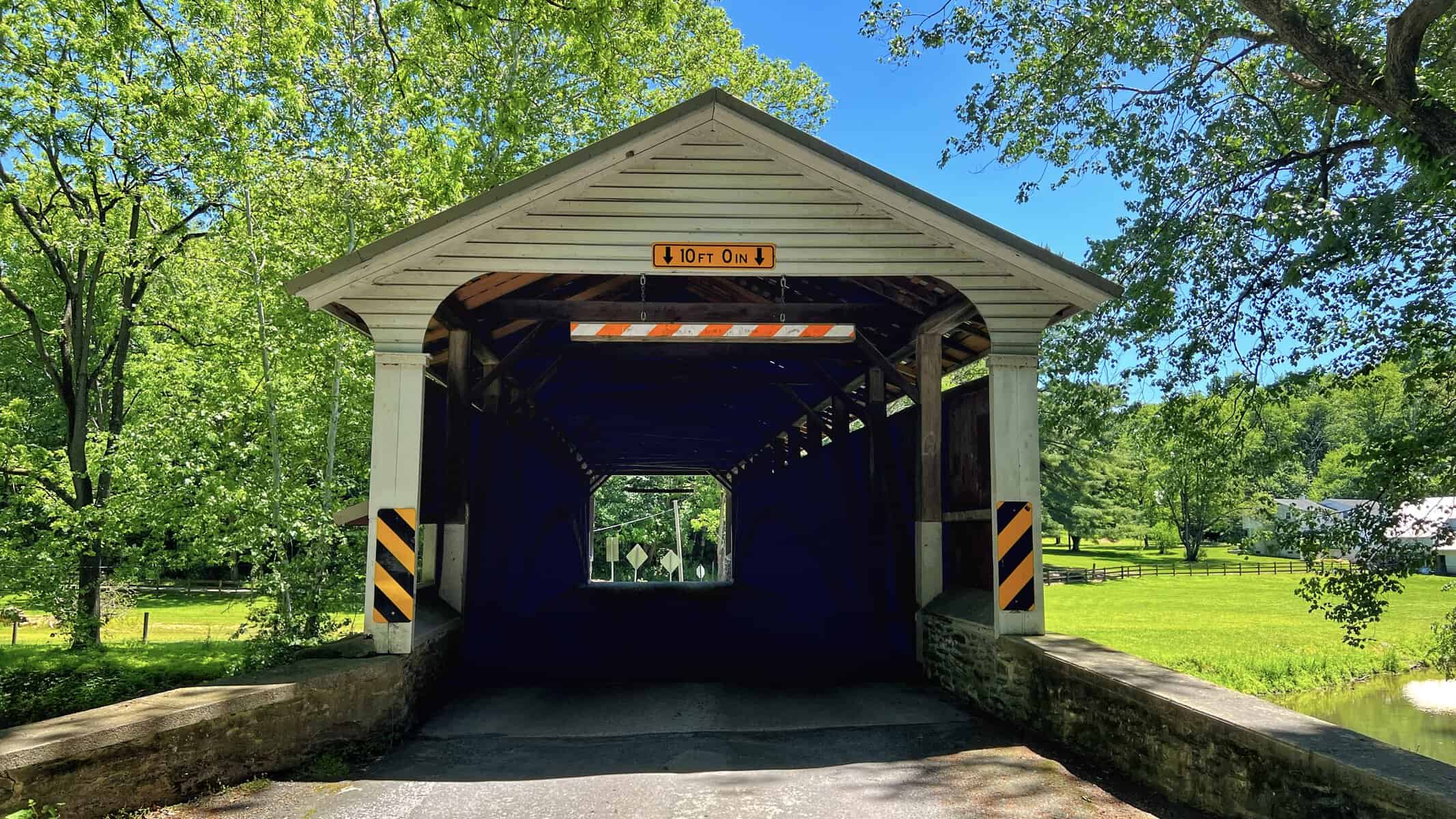
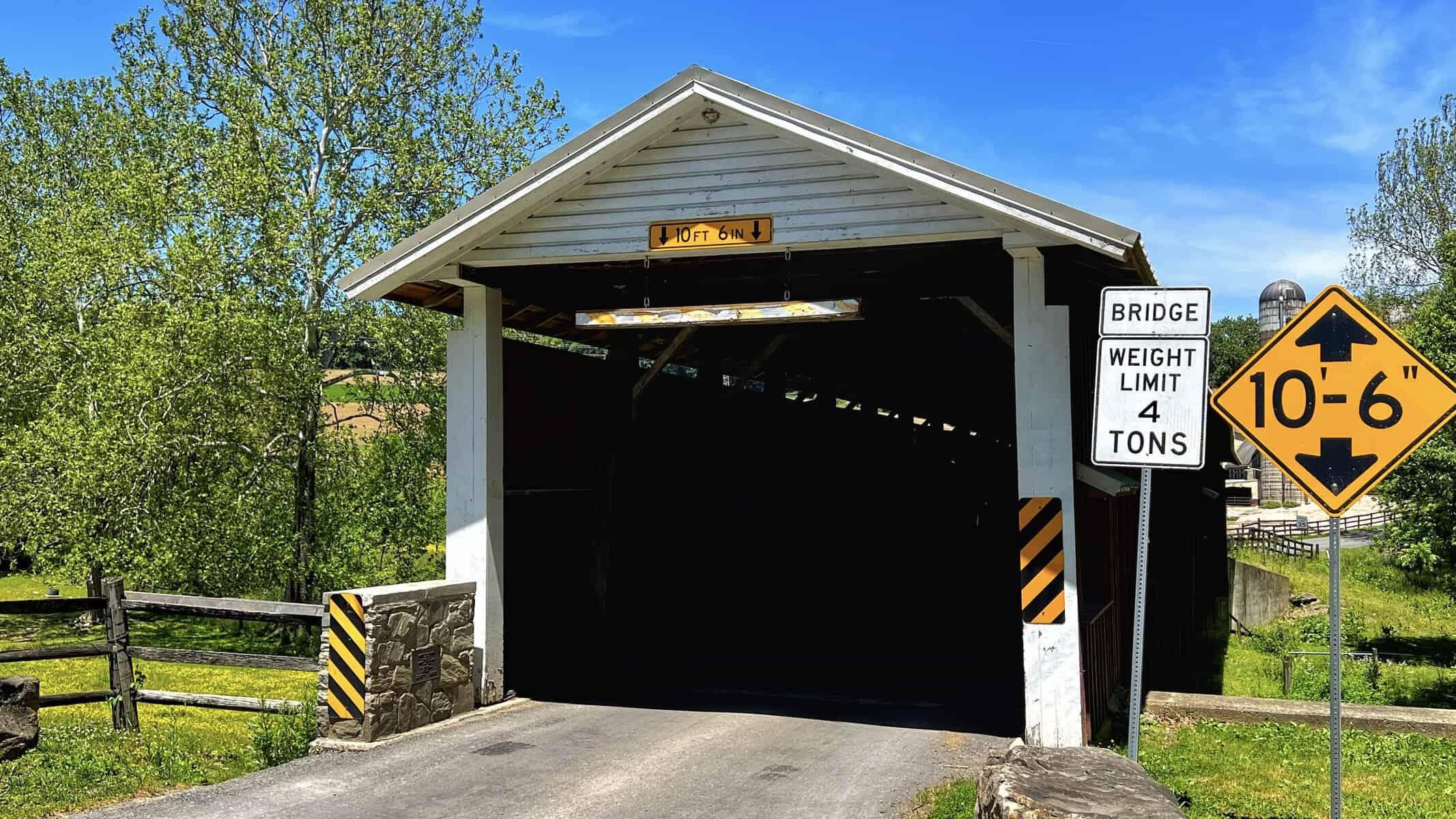
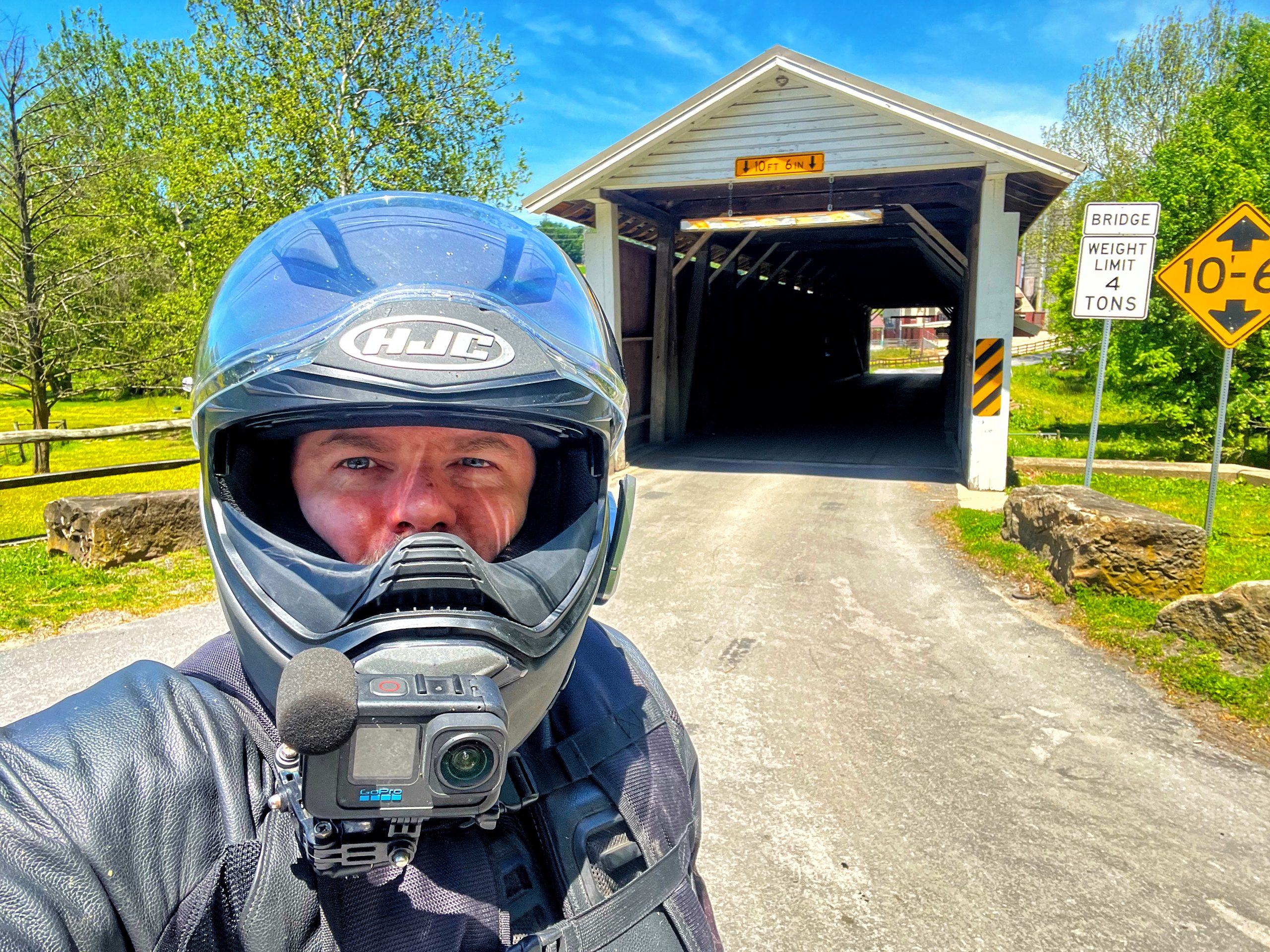
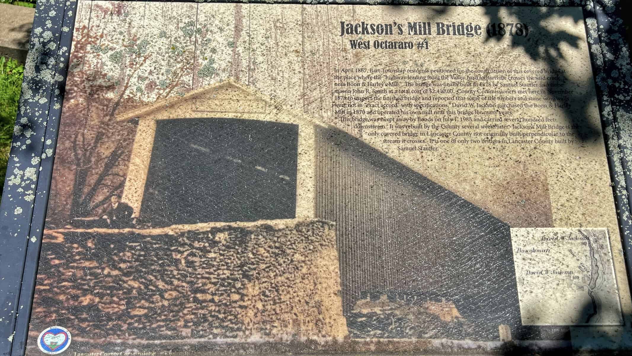
Jackson’s Mill is in Bart Township, about 3.25 miles east of Quarryville, and it’s the most remotely situated bridge of the day. The signage describes it as being seen less than many of the county’s other bridges due to its isolated location, and that tracks. The road in feels like you’re going somewhere you probably shouldn’t be.
It’s also the most historically interesting bridge on the route, at least structurally. Jackson’s Mill is the only covered bridge in Lancaster County not built perpendicular to the stream it crosses. The builders were working around a sawmill on one side and rock formations on the other, so the bridge angles across the West Branch of the Octoraro Creek at a skew. At 139 feet it’s also one of the longer bridges on the list.
The bridge was originally built in 1878, swept away nearly intact in a flood in 1985, recovered from a short distance downstream, and rebuilt by the county. They raised it three feet during reconstruction to give it more clearance above the waterline.
But the thing I’ll actually remember about this stop has nothing to do with the structure. When I walked inside there were three Amish boys leaning out of one of the portholes watching a group of Amish girls down in the creek below. I have no idea if they were playing or gathering something but the whole scene felt completely out of time. Lancaster County does that to you sometimes.
Parking is along the shoulder near large stone boulders on both sides of the bridge approach. No dedicated lot, but motorcycles fit fine.



Pine Grove Covered Bridge
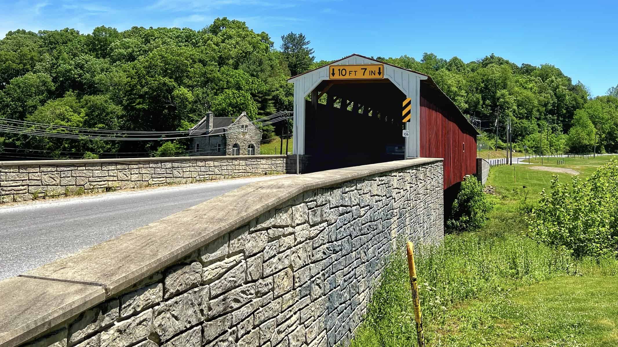
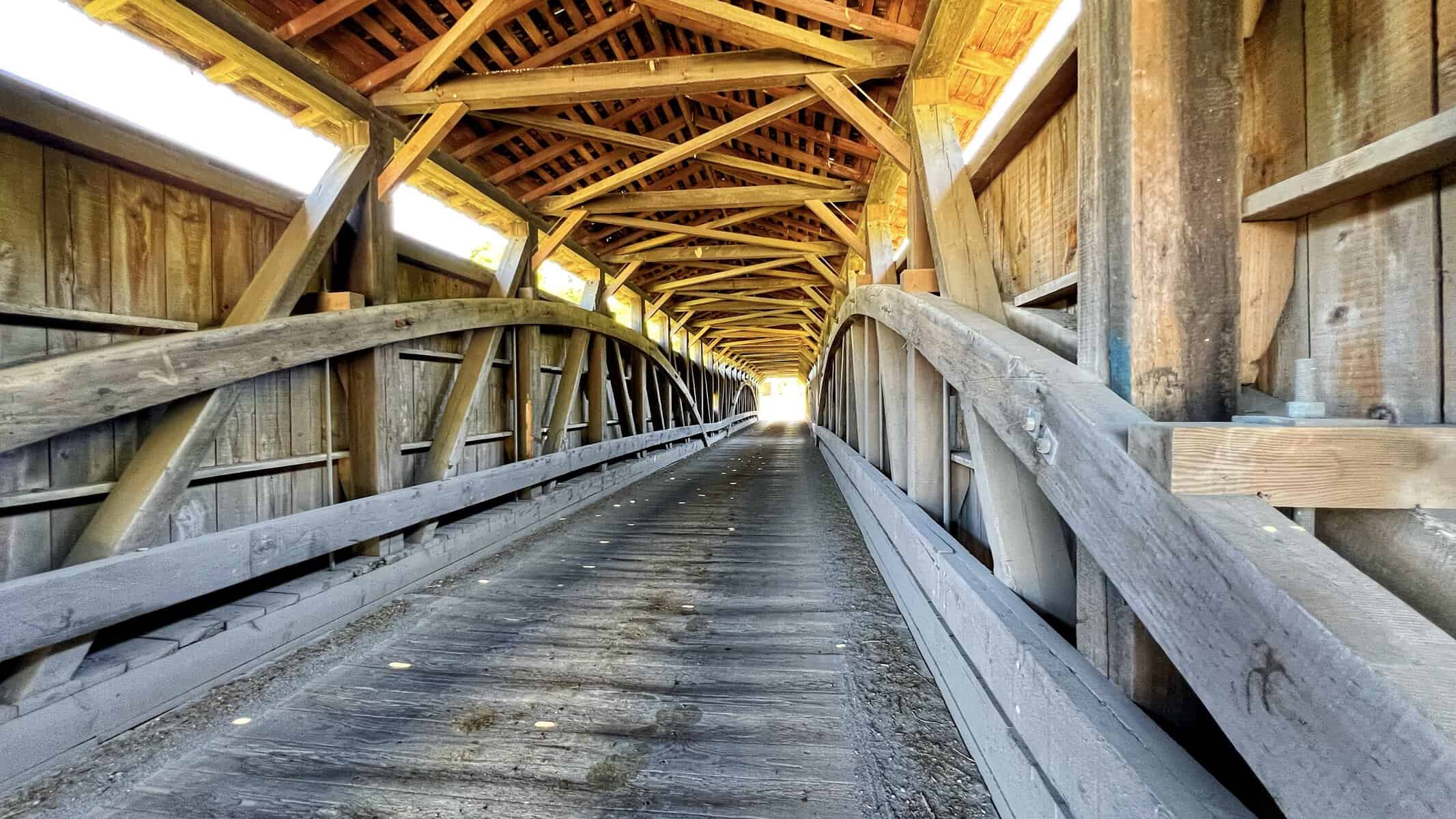
Pine Grove is the longest covered bridge in Lancaster County at 195 feet, and the only two-span covered bridge still in use in the county. It crosses the East Branch of Octoraro Creek on the Lancaster and Chester County line in Little Britain Township, built in 1884.
The surrounding area has a bit of an industrial feel to it. There’s a water treatment plant nearby with chain-link fencing, and the bridge sits somewhat in the shadow of that. It’s not a bad bridge by any means, but the setting doesn’t do it any favors compared to some of the others on the list.
From a distance the bridge has an unusual look because of the double span. The center point appears to sag slightly, giving it a kinked or bowed profile that you don’t see on the single-span bridges. Once you know what you’re looking at it makes sense, but it’s a little disorienting at first.
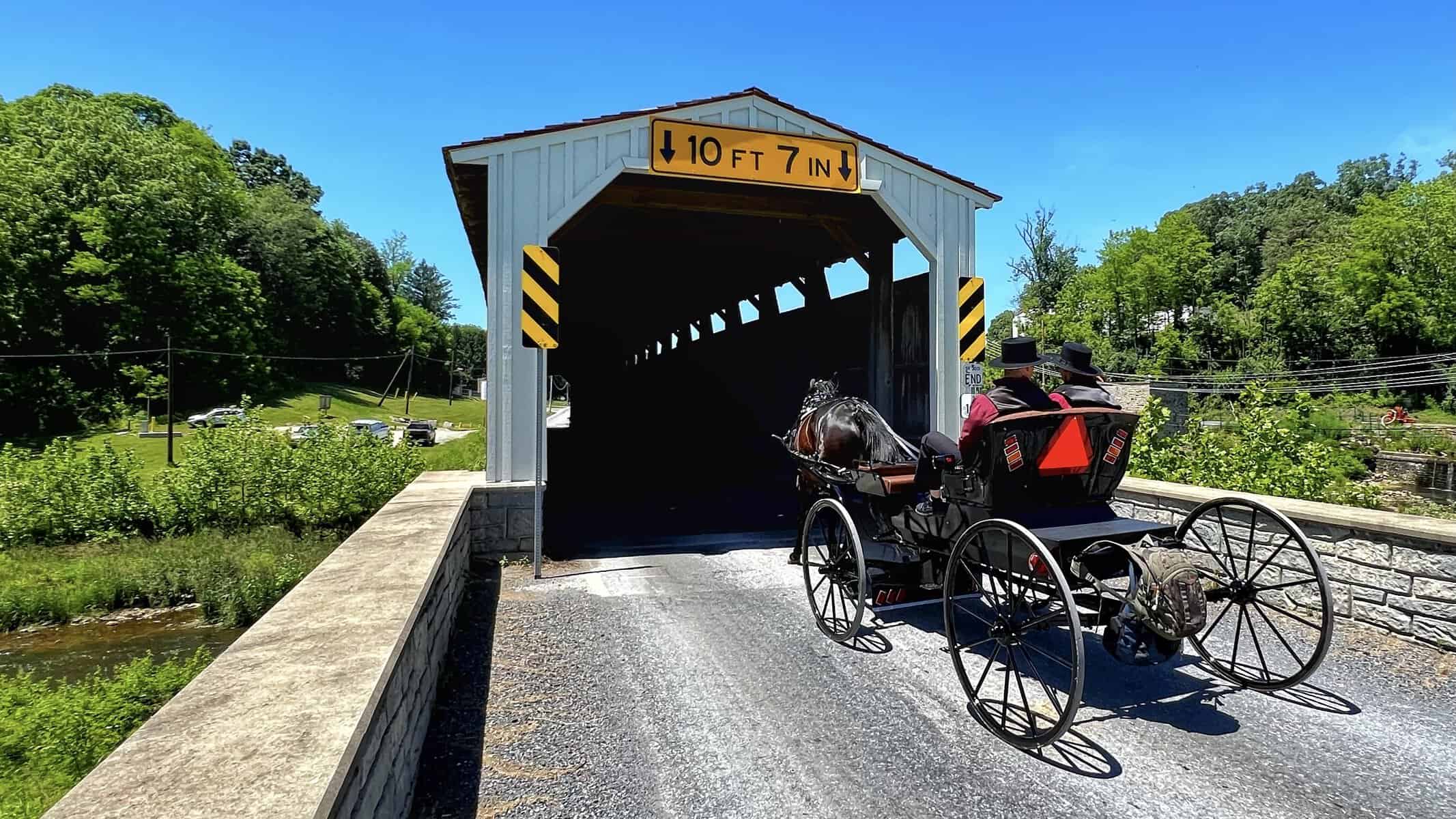
There was horse and buggy traffic coming through while we were there, which added some atmosphere. People were also out in the creek near a dam just downstream.
Parking was a challenge. There’s a stone lot near the mouth of the bridge but it’s rough, full of potholes, and not somewhere you want to take a motorcycle. We wound up parking down the road near a business and walking about 200 yards to the bridge. It worked, but something to be aware of if you’re planning the route.

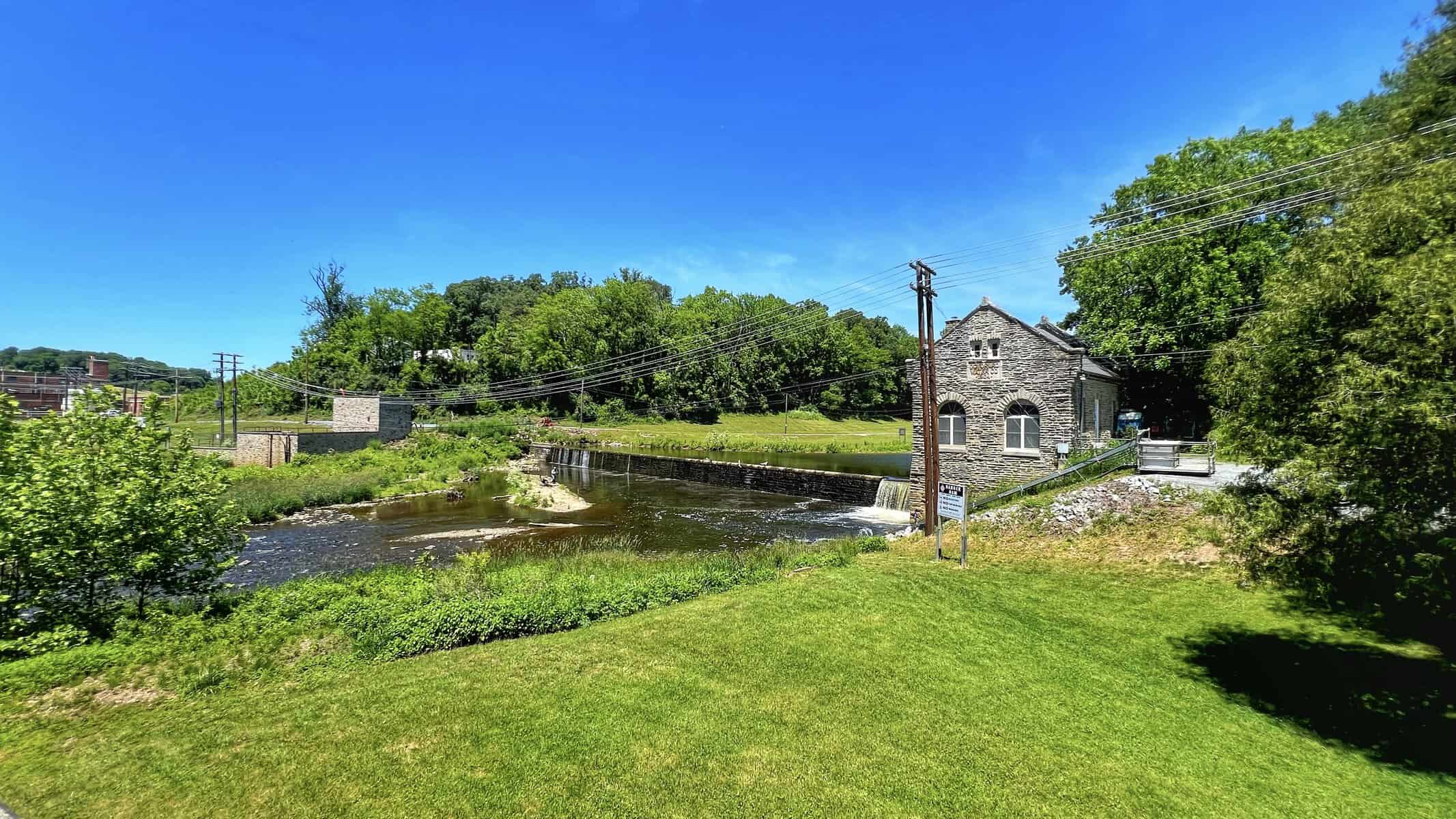
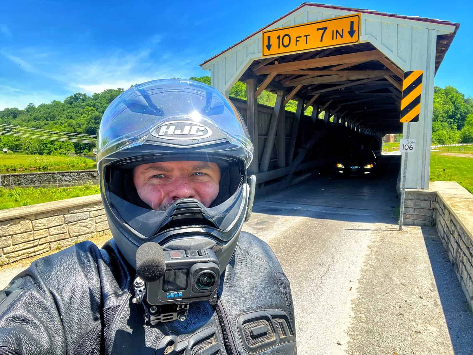
White Rock Forge Bridge
White Rock Forge spans the West Branch of the Octoraro Creek in Colerain and Little Britain Townships, built originally in 1847, swept away in 1858, swept away again in 1884, and rebuilt that same year by Elias McMellen for $2,495. The signage at the bridge includes the story of the temporary crossing local residents built immediately after the 1884 flood using timbers recovered from downstream. Total cost: 47 cents. Just the nails.
That detail alone is worth the stop.
The bridge is 103 feet long, white faced with red sides, and in good condition. It also has those small drive-through window style openings at the far portal end, same as Mercer’s Mill. Still haven’t figured out what they’re for.
Parking here is the best of any stop on the route. There’s a large gravel lot right next to the bridge with plenty of room for vehicles of any size. Easy in, easy out.


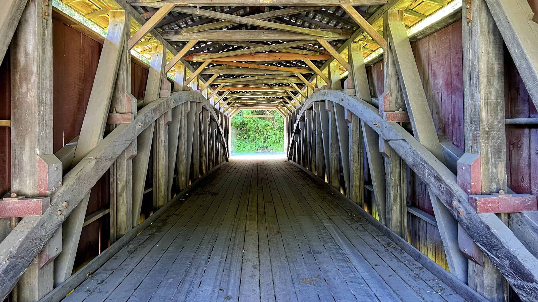


Baumgardeners Mill Covered Bridge
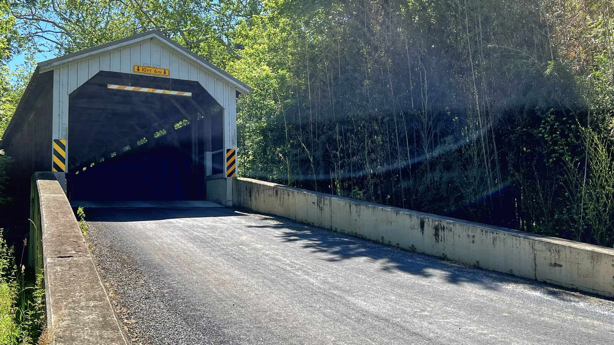
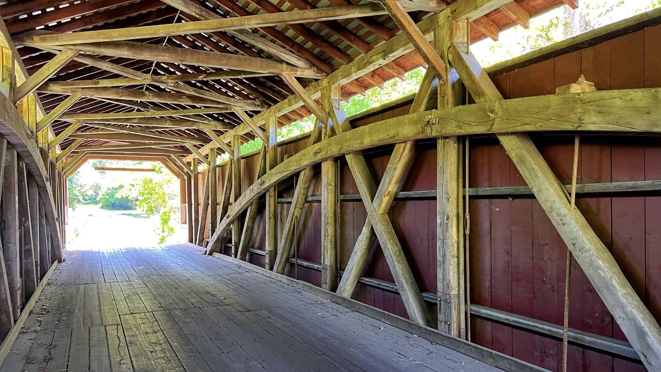
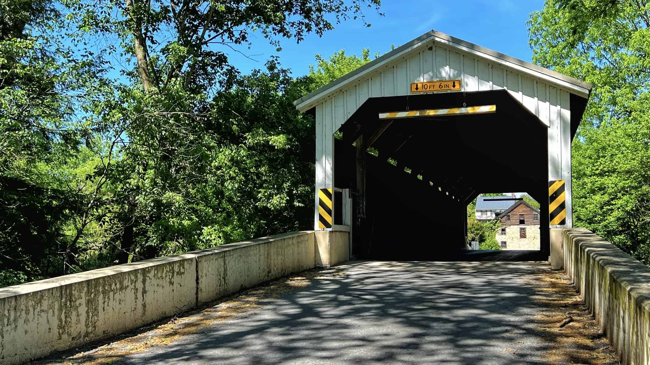
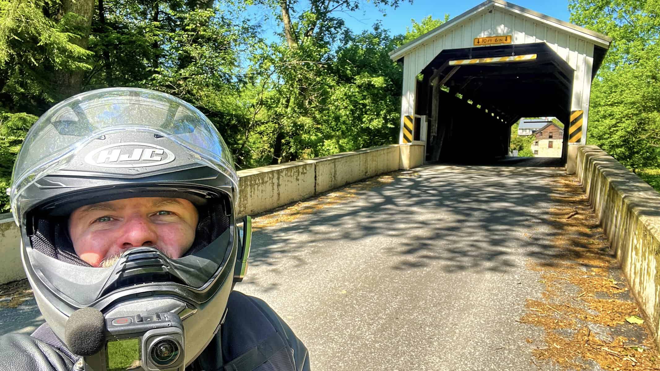
Baumgardeners is in Martic Township on Covered Bridge Road just east of Route 324, crossing Pequea Creek. Built in 1860, restored in 1987 after flood damage, raised four feet during that restoration to protect it from future flooding.
Here’s what you actually need to know about this stop: there is thick bamboo growing on the right side of the road where you park, and the bugs are absolutely terrible. I had a wasp nearly get inside my face shield while I was walking around. Bring bug spray or keep moving. The bamboo creates a dense wall of vegetation that seems to trap every flying insect in the county.
Outside of that, it’s a genuinely nice bridge in a nice setting. There’s a house up on the hill on the far side that gives the whole area a tidy, well-kept feel. The bridge itself is in good shape and the history is solid. Thomas Baumgardener, who the bridge is named for, was an interesting character: a blacksmith turned businessman who helped establish cotton mills in Lancaster and built five large tobacco warehouses in the city.
Just be ready for the bugs.

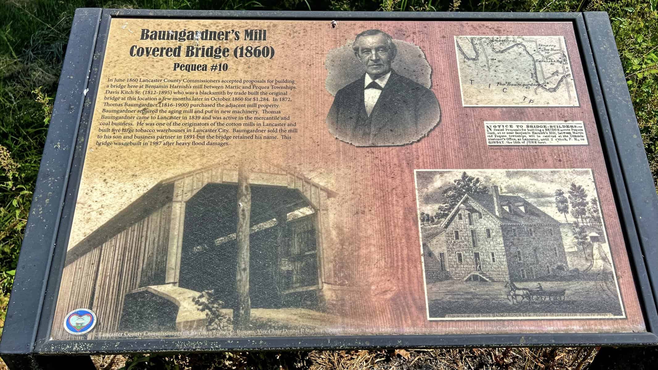
Lime Valley Covered Bridge
Lime Valley crosses Pequea Creek in West Lampeter Township, about 0.35 miles east of Route 222 southeast of Willow Street. Built in 1871, 103 feet long, and listed on the National Register of Historic Places.
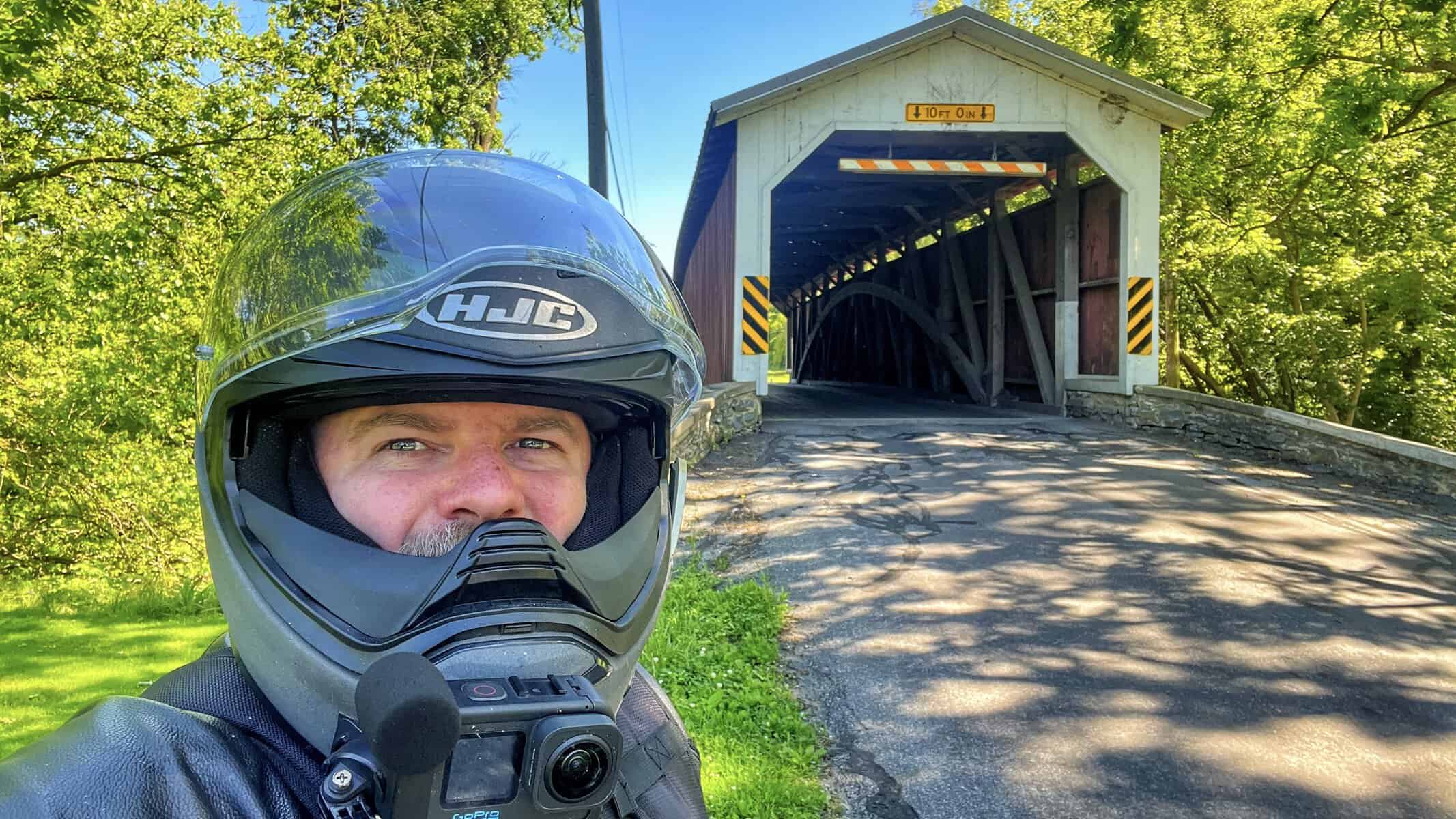
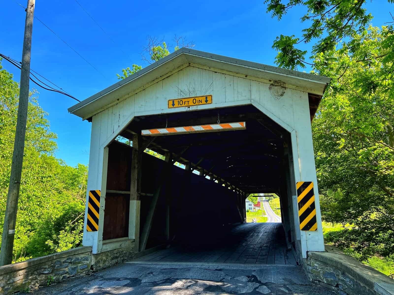
This bridge shows its age more than the others. The white painted faces are weathered, you can see cracks in the paint, and the whole structure has a tired look to it, particularly on the side we exited from. It doesn’t look unsafe, just like it could use some attention. It’s still worth visiting but manage your expectations going in.
Parking is tight. We split up, two bikes on the entrance side and one on the exit side, all on the shoulder. A car or truck would probably need to pull onto the grass. There’s a large open field on one side of the bridge that helps with sightlines at least.


Willow Hill Covered Bridge
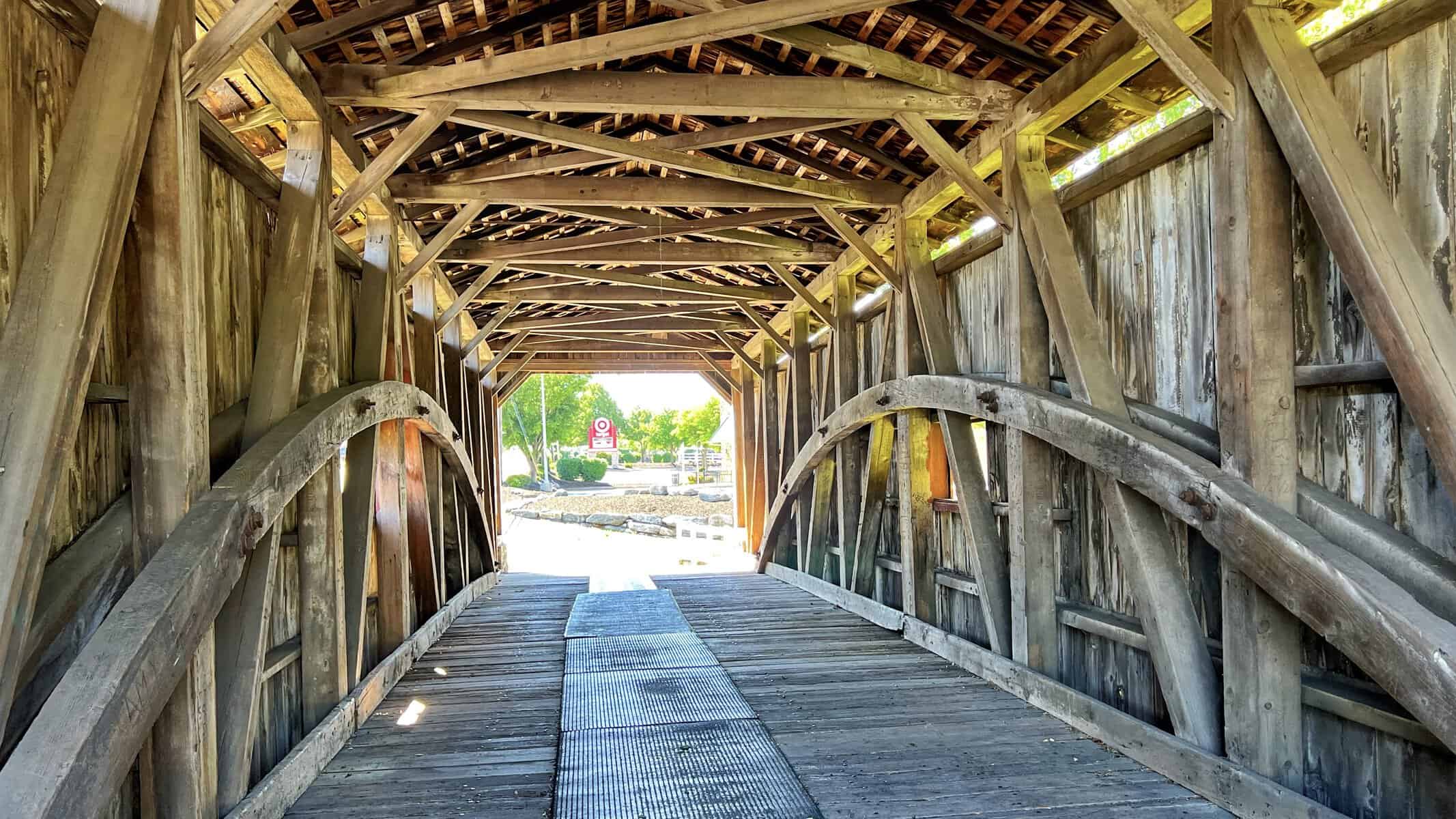
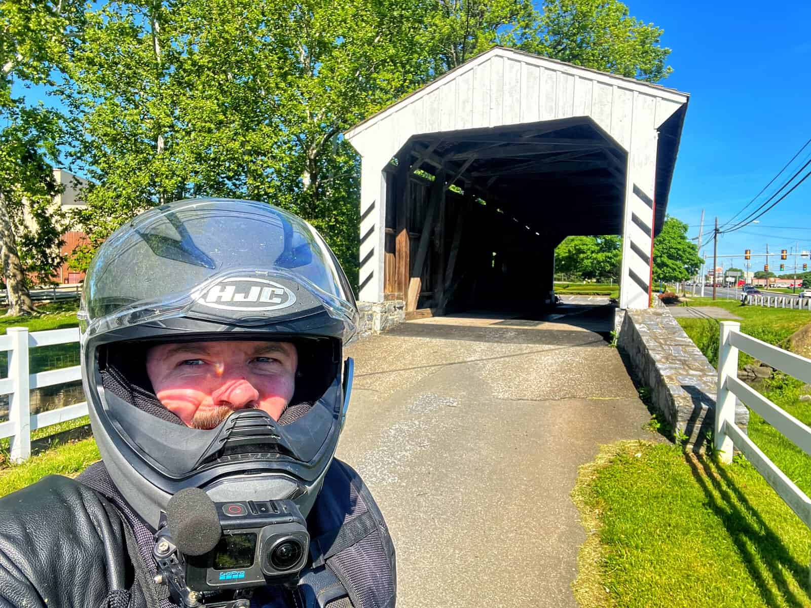
Willow Hill is unlike any other bridge on this list, and I mean that in a practical sense. It sits adjacent to a retail area off Route 30, next to a parking lot, over what is generously described as a very shallow creek. It’s foot traffic only, no vehicles, and the setting feels more like a roadside attraction than a historic landmark.
The history is actually interesting. The bridge is a combination of two separate bridges that were both slated for demolition in 1962. The owner of an adjacent property took one of them, purchased the salvaged wood from the other to replace the rotten sections, and combined them into what stands today. Because it was assembled rather than originally built as a single structure, it’s the only bridge on this list not on the National Register of Historic Places.
Parking is genuinely not a problem here. The adjacent retail lot gives you all the space you need. It’s a good place to stretch, grab something nearby, and take a break before the last stop.
It has a novelty feel to it, and I don’t mean that as a dig. It’s still a cool bridge to walk through. Just don’t expect a scenic creek setting.




Leaman’s Place Bridge
Leaman’s Place is our last official stop of the day, sitting on the boundary between Paradise and Leacock Townships, about half a mile north of Route 30 on Belmont Road west of Paradise. It crosses Pequea Creek and has been at this location in one form or another since 1845.
The land itself has a longer history than the bridge. It was settled in 1712 by the family of Mary Ferree under a William Penn land grant, in an area that was then inhabited by the Pequa Indians. By the 1880s, Leaman Place had grown into a small village with a hotel, a railroad station, a telegraph office, and a common school. The current bridge was rebuilt by Elias McMellen in 1893.
The bridge has small portals running the length of both sides but they don’t let in much light, so the inside stays fairly dark compared to some of the others. The stone retaining walls at the approach are tall and substantial, and the ramp up to the bridge entrance gives it a slightly fortress-like feel from the road.
Parking was our last challenge of the day. We found spots along the stonework near the mouth of the bridge. On the exit side there’s one worn-down shoulder spot where it looks like vehicles have been parking for years. It works, but just barely.


One More Stop: Pool Forge Covered Bridge
We didn’t plan Pool Forge as part of the official route but we stopped on the way home, which is pretty standard for us. If we’re anywhere near Lancaster and the ride is winding down, Pool Forge is almost always the last stop.
It’s in a park setting, which sets it apart from most of what we visited earlier in the day. There’s dedicated horse and buggy parking, picnic benches, a nearby stone building that gets rented out for weddings, and actual room to breathe. Families were out enjoying the space around the bridge. It felt relaxed in a way that some of the roadside bridges don’t quite manage.
The bridge itself was built in 1859, 99 feet long, entirely red inside and out, which is slightly different from most Lancaster County bridges that have white painted approaches. It’s on private property now and listed on the National Register of Historic Places as part of the Pool Forge historic district.
If you’re building your own version of this route, I’d add Pool Forge at the end. It’s a good way to finish the day.


More Covered Bridge Riding in Pennsylvania
If Lancaster County has you hooked on covered bridges, I’ve done a similar ride in Bucks County that’s worth checking out. Different county, different vibe, but the same idea: get on the bike and go find some history. You can read about that ride over at Visiting Bucks County Covered Bridges by Motorcycle.
Ride With Me
If you made it this far you’re probably already planning the route. Subscribe to the WaltInPA YouTube channel for more riding content including the video from this ride. Share this post with a friend who rides, especially if they’ve been talking about getting out to Lancaster County. And come hang out in the WaltInPA Discord where good people talk about riding. There’s usually someone who’s done a version of this route and has opinions about it.
Recent Posts
This is the first episode of Kickstand Conversations, and it kicks off the way most of our conversations actually start, which is us catching up on who rode and who didn't. From there it turns into a...
When you're out on the bike with a riding buddy or two, the roads are the main event. But a close second? The lunch stop. I'm talking a solid place to sit down, eat something good, and just hang out...